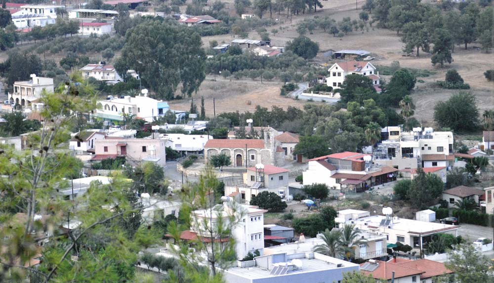
1. Mosfiloti is a thoroughly Greek village of the Larnaca district and it is located at the “heart” of the three big cities, Nicosia, Limassol, and Larnaca. The Community of Mosfiloti has a distance of about 21 kilometres from Larnaca, 22 kilometres from Nicosia, and 44 kilometres from Limassol. These are distances that one can cover by car in 25 minutes.
2. The name of the village Mosfiloti (as well as that of the village “Mosfileri”) is synonymous and relates to the “mosfilia” tree (“crataegus azarolus”, loquat). The name indicates an area full of such trees. It is worth noting that the name used in Cyprus until today has ancient Greek origins. Not many loquat trees are extant today because, during the British rule and due to the poverty and the scarce jobs, there were plenty of woodcutters that cut down various trees, including the loquat trees, and sold their timber to the British for their fireplaces. They also used the timber for the construction of their manors.
The British had a good relationship with the inhabitants of Mosfiloti because they bought timber from them and the Governor visited the village every weekend for hunting. There were several inhabitants that assisted him in the hunt and offered would be his hosts for a meal in their houses.
3. Mosfiloti is served by a good road network. It is adjacent to the old Nicosia – Limassol road and has a distance of 500 metres from the new highway. Through turnpike roads, it connects to the village Sia in the west (about 2.5 km), to the village Psevdas in the east (about 3.5 km), to the village Lympia in the north-east (about 7 km), and to the village Pyrga in the south (about 3 km).
The village of Mosfiloti existed in the Mediaeval times. According to Nearchos Clerides, the village was constructed around the monastery of “Agia Thekla” that pre-existed. This monastery was established by Saint Helen in 330 AD, along with that of “Stavrovouni”. The founding of the village around the monastery must be placed around the Byzantine times. During the Frank and Venetian domination eras, the village was a feud but we do not know to which family of noblemen it belonged. In old maps it is found marked under the name Mesfolot and/or Mesfelot.
Under the monastery there was a spring with holy water, which was used by the faithful for the healing of skin diseases and cases of eczema.
The Holy Monastery of Agia Thekla celebrates on the 24th of September, the day that our church honours the memory of the great martyr and equal to apostle, Saint Thekla. It is one of the biggest fairs of the Larnaca district.
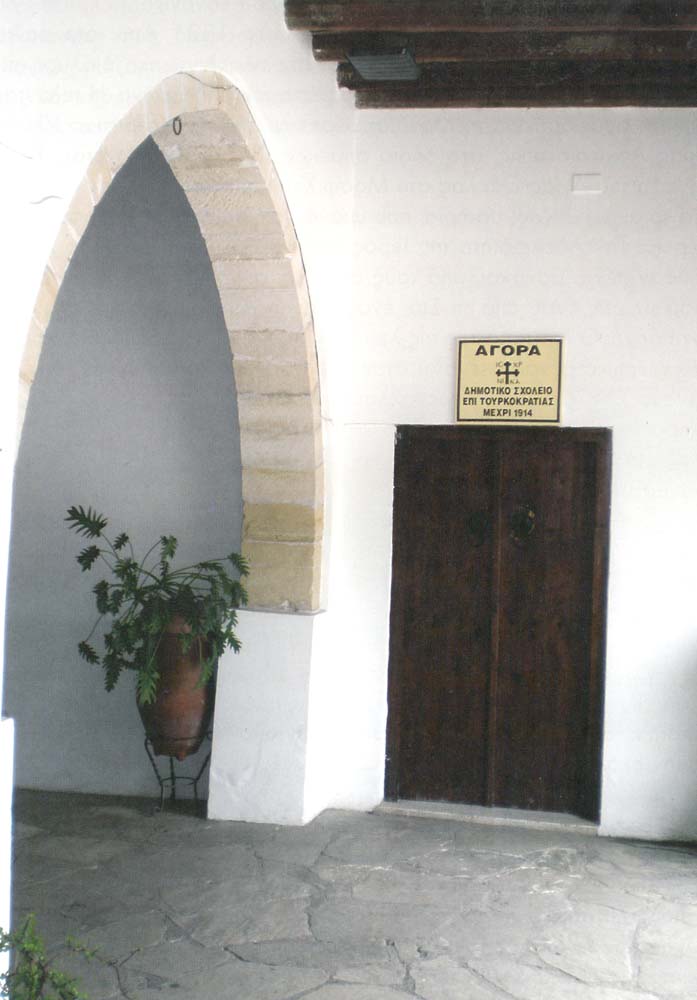
Henry Lite, the British traveller and military man, who -during his visit to the Monastery of Saint Thekla -stayed there for a night on the day of the fair, mentions in a relevant text of his that he was profoundly impressed by the poverty and misery that prevailed amongst the rural population of the village, something indicative of the ordeals and the hardships that the Greeks of Cyprus suffered during the Turkish domination (1571-1878).
4. Mosfiloti is built at an average altitude of 250 metres, with its north and west borders being a part of the administrative limits of the Nicosia and Larnaca districts. It is the village of the Larnaca district that is closest to Nicosia. It is a part of the administrative area of Larnaca but comes under Nicosia in terms of education and telecommunications. It borders with three villages of the Nicosia district, in the west with the village Sia, north with the village Alampra, and north-east with the village Lympia.
5. The village is surrounded by the Pipis, Vizakeri, Petromoutos, and Kalogeros mountains. The Pipis and Kalogeros mountains were reforested in 1981 with pine-trees and today they are considered as the “lungs” of the village. The green and the variety of the mountains’ vegetation provide the village’s natural beauty
From a geological point of view, what predominates is the lava of Troodos’s igneous complex, upon which dark coloured soils developed. They are the mild knolls of lava, upon which sparse pine-trees, thyme, and cistuses (ladaniferous) grow.
The Mosfiloti village, like the villages Pyrga and Sia, is located in a mining area due to its richness in minerals. A large mine for the processing of concrete and a work-site for the processing of asphalt operate at its boundaries.
In previous times, excavations for the detection of copper and gold were made. Two of them, which are extant until today and are of a significant depth, were made by a Greek person named Prompona. Ever since then the excavations received the name ‹‹Prompona’s hole››. One of them is located at the foot of the Pipis mountain and the other at the foot of the Vizakeri mountain. Promponas, who was a geologist, transferred on donkeys the material that he extracted from the two excavations to a venue close to Agia Thekla for processing. Until today, there are two small ponds in this venue, which he used for the purpose mentioned above.
The village is crossed by a tributary of the Tremithos river, which has water in its riverbed also during the months of Spring. This is something that justifies the existence of people here back in older times, since in those days irrigation of the various crops was done directly from rivers. In various pints of the river there were small dams. Even until today there is one of them near the Monastery of Agia Thekla, along with the part of a raceway that was formerly used to transfer water for the needs of the village and the operation of a flourmill, which however is not extant today. The region where the flourmill operated took the name ‹‹Paliomylos›› (Old Mill). South of the “Agia Thekla” Monastery there was also a small dam, serving the agricultural needs of a region named ‹‹Vasileies››. The water ran through the raceway and -at a point where crossing was made impossible because of a small stream -an arch with a spout was constructed. Part of it is extant today and it is called ‹‹The Spout of the Vasileies››.
The river “Tremithos” crosses north of the village and constitutes the village’s natural borders with the village Lympia. There also were small dams there in previous times, serving the needs of agriculture and the operation of two flourmills. Out of these two mills, of which small parts are still extant, one can also be found marked in the maps of the Land & Surveys Department and it is located within the limits of Mosfiloti, lending its name to the region that is called ‹‹Mylos›› (mill); the other is located within the limits of the Lympia community. In 1945 a bigger dam was built in the area of the small one, being of the stone-made type and having a capacity of 18,000 m³, which was then demolished in 1976 so that an even bigger dam would be constructed in its place (220,000 m³). Most of it is within the limits of the Mosfiloti community.
6. Ancient items, caves, and a common (group) grave were found -from time to time -in various venues of Mosfiloti.
South of the Agia Thekla Monastery, at a distance of 1 kilometre, some caves are extant until today that are separated into “rooms” and it is believed that they were inhabited up to the mediaeval times. This region took the name “Spilioi” (Caves). Testimonies of local people report that the elders found in the caves clay pots, many of which they destroyed because they were unaware of their value. In one of those pots they also discovered the skeleton of a young child. It is believed that -during the first years of people settling in the area and during the conquerors’ raids -the inhabitants took refuge in the caves for their protection. They hid the young children and the infants, covering them with a cloth so that their cries would not be heard and reveal their presence.
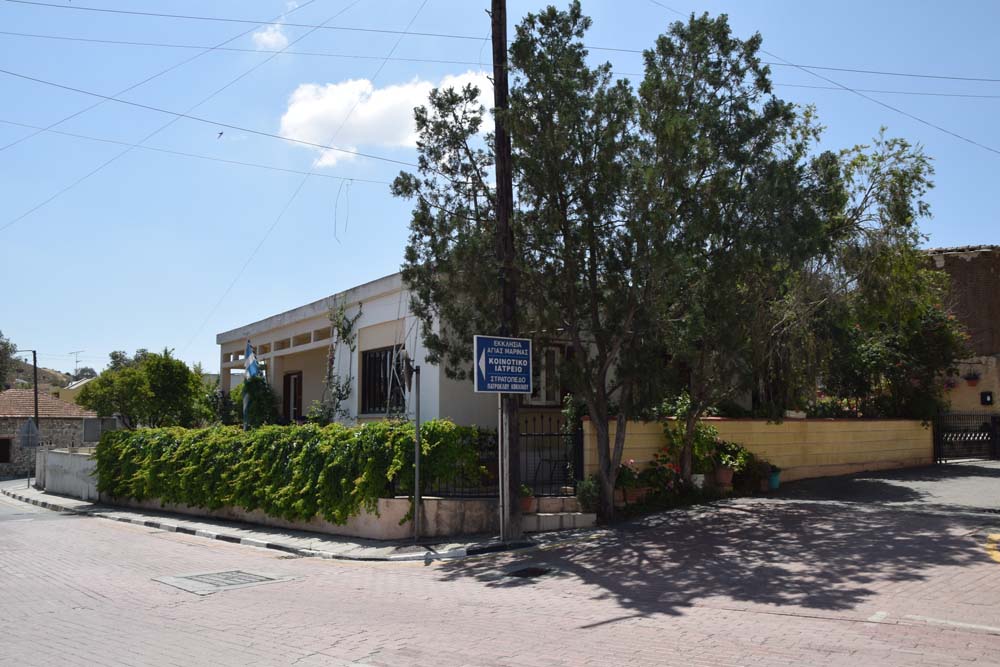
In the area where the offices of the Community Council are housed, there is -until today -a well. Until 1966, when a water supply system started operating in the community, all the inhabitants of the village used to pump water out of this well for their daily needs, carrying it home in clay vessels.
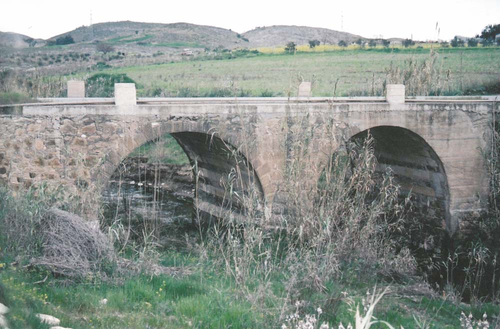
In the road leading from Mosfiloti to Lympia, a stone-made bridge was constructed in 1944 over the Tremithos river. At a distance of 1300 metres north of the bridge, towards the Lympia village, there is a small chapel dedicated to Saint Marina. Next to it there was a shepherds’ settlement. When the Turkish army arrived in these areas from Lefkara, during the year 1570, it attacked the settlement with canons, which the Turks were trying out for the first time. They started firing against the houses with stone-made shells and the settlement was destroyed along with the church. Those inhabitants that survived took refuge in the Lympia village. The day that “Agia Marina” was destroyed was a Tuesday and ever since then the region was named ‹‹ Kakotriti››› (Bad Tuesday).
The church of Saint Marina was reconditioned, while signs of caves can be found in the area of the settlement until today.
The area of ‹‹ Kakotriti›› was full of thick forests. According to tradition, that is where a large fire broke out and -with the aid of the winds -the flames rapidly moved on towards the village of Alampra, which is located about three kilometres west of ‹‹Kakotriti››. Feeling scared, the people of Alampra gathered in their village’s church, “Agia Marina”, and in tears they fell on their knees and begged the Saint to save them. And so the miracle happened. They saw the shadow of a female leaving the church, followed it, and saw Her guiding them there where the fire was raging. They saw her kneeling and praying to God. In a little while the fire died down and their village remained untouched by the flames. It is ever since then that the village received the name “Alampra”, generated by the privative prefix “a” and the Cypriot word “lampro”, which means “fire”.
During the year 1426, the Frank ruler of Cyprus, Giannos, learned that the Mamluks had landed in Limasool and had started looting. He then took his army from Potamia and proceeded toward Limassol. He crossed through Mosfiloti and made a stop further south, in Pyrga, where he gathered his entire army. From there on he moved toward Choirokitia where he was defeated and captured.
7. Mosfiloti receives an annual rainfall of about 410 millimetres. A great variety of seasonal vegetables such as potatoes, cabbages, watermelons, melons, tomatoes, cucumbers, onions, (Jerusalem) artichokes, lettuces, okras, peppers, collards, eggplants and many others are cultivated in its region. Olive and citrus trees, legumes (French peas, broad beans, and chickpeas), cereals (mainly barley), forage plants (tare and clover), locust trees, as well as a few fig, loquats, and apricot trees are also cultivated.
Till now there still are several olive trees from the Frank domination era and so they are named ‹‹Frangkoelies›› (Frank Olives). In previous times, there were several vineyards south of the village and for that reason the area bears the name ‹‹paliampela›› (old vines). There is also a region named ‹‹Kaminia››, in which there used to be Kilns for the processing of grapes, used for the production of wine and “Zivania” (strong, transparent alcoholic beverage).
The village’s inhabitants were formerly occupied with embroidery, weaving, and knitting. These things slowly disappeared as industrial units developed.
Because of the village’s extensive development, large scale reforestation, and the limited land, a stockbreeding zone was created in a non-developed region next to the mine. This is where the few remaining stockbreeders were transferred. They raise sheep, goats, and rabbits. There also are three large farms for the breeding of poultry.
598 goats, 252 sheep, 270 pigs, 6 cows, and 677 poultry were being raised in 1985.
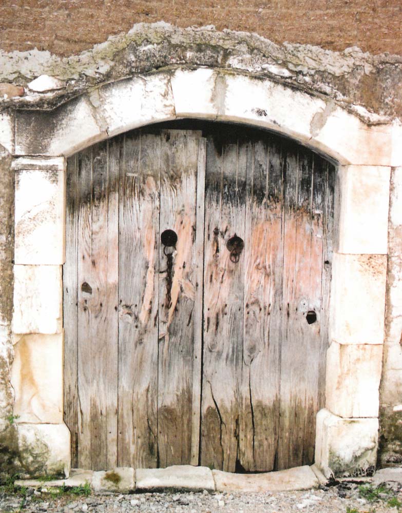
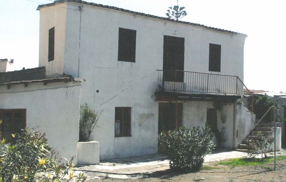
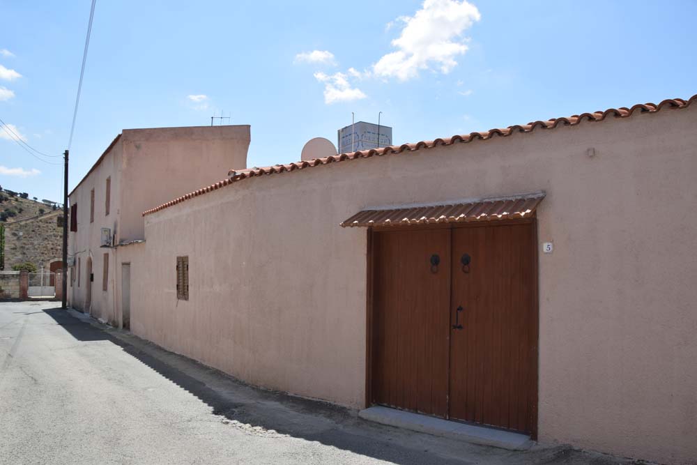
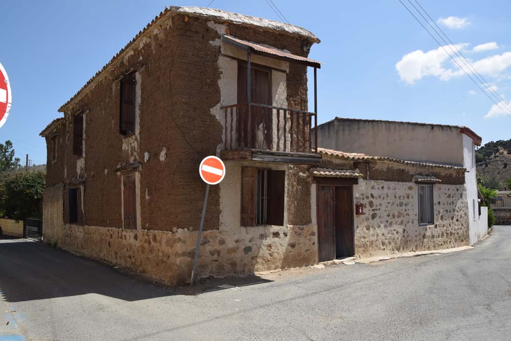
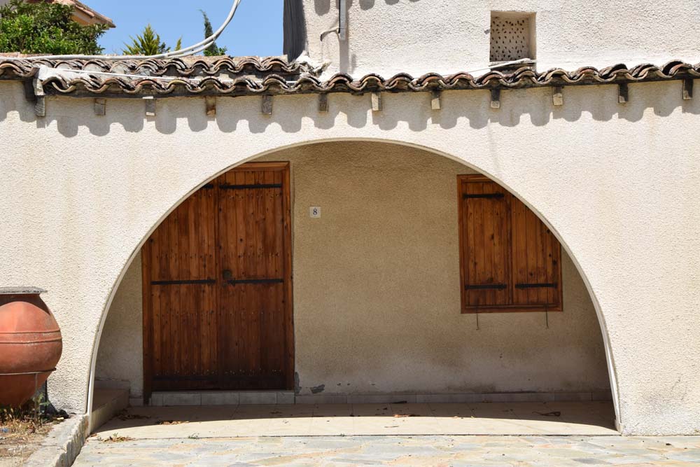
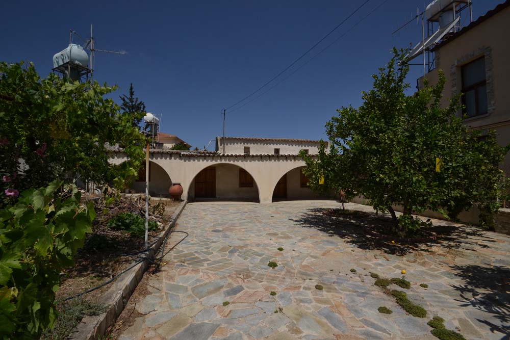
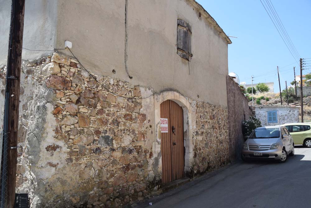
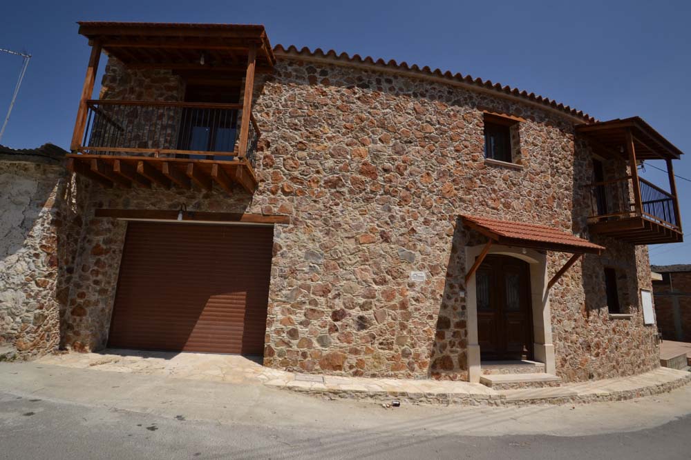
8. The village’s original core is densely built, the houses preserving elements of the traditional folkloric architecture to a great extent. Gradually the settlement abandoned its original core and spread along the main turnpike road that crosses it.
From 1881 until 1921, Mosfiloti has gone through fluctuations of its population. In 1881 the inhabitants were 162, decreasing to 161 in 1891, increasing to 178 in 1901, to 200 in 1911, yet decreasing to 169 in 1921. Since 1931 and onwards the population had a steady increase. The large increase of population in the village occurred after 1976 and it was due to the settlement here of a large number of Greek-Cypriot refugees after the 1974 Turkish invasion. So, according to the official population census, in 1982 the population increased to 803 inhabitants. In the last official population census, conducted in 2002, the inhabitants numbered 1095.
The village’s church is dedicated to Saint Marina. R Gunnis (1935) reports that he had seen in it a beautiful 16th century icon of the Blessed Virgin Mary, as well as a 1684 icon of St. Tryfonas.